open source mapping project
See the following -
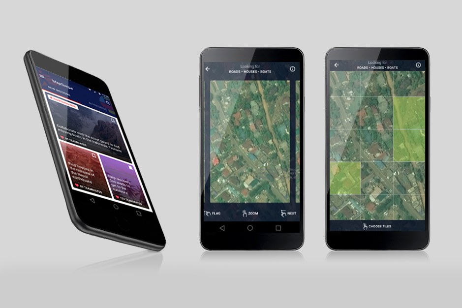
MissingMaps: Chart a Course to Disaster Relief From Your Phone
Wired Brand Lab | Wired | June 1, 2017
 Delivering life-saving aid to the middle of a war-zone or disaster area is no easy task. First, there’s the challenge of actually getting there. While navigation software now offers detailed maps of most cities, the uncharted villages and remote conflict zones served by Doctors Without Borders/Medécins Sans Frontières (MSF) are another beast entirely. Even though a remote village or unmarked street might be visible in satellite imagery, it can take MSF mappers months to locate, sketch, and code the kind of detailed digital maps aid workers rely on...
- Login to post comments